

Photo GEO Tagger
Entwickler IDimager Systems, Inc.
9.99 USD
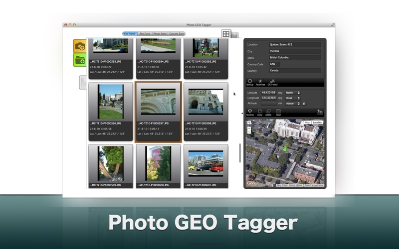
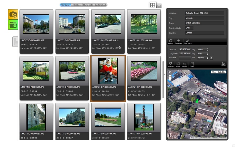
GEO Tagging is the process of adding geographical data to your images. This includes
the coordinates like latitude and longitude, but also altitude, and location details like City, State and Country (geocoding). Photo GEO Tagger is focused on supporting your GEO Tagging needs.
Photo GEO Tagger offers features to add GPS coordinates to your photos, copy/paste GEO information, perform reverse lookups (find location details based on coordinates), perform forward lookups (find coordinates based on location information), store and re-use your favorite locations, and the use of GPX track files. Of course you can also use Photo GEO Tagger to delete existing GPS and/or location information.
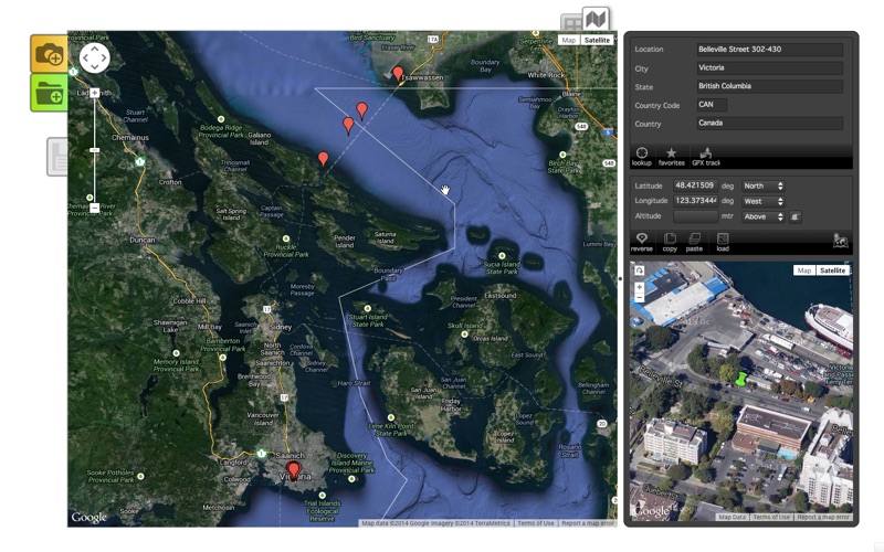
The integrated, interactive, Maps give you a helicopter view of your photos and allows for optimal fine-tuning by moving the markers around.
When you save your GEO information then it will be stored to your photos metadata using the industry standards Exif and XMP.
Photo GEO Tagger supports all popular photo file formats, including JPEG, TIF, DNG, and most RAW formats.